AERIAL INTELLIGENCE REDEFINED
Licensed drone pilots flying commercial-grade aircraft over your site. We capture high-resolution imagery, 4K video, and advanced thermal data to provide actionable insights from above.
OUR SERVICES
By reaching vantage points that are often unsafe or difficult to access, we provide unique perspectives that drive smarter decisions and elevate every project.
Drone Inspections
Advanced aerial inspections for infrastructure, roofing, bridges, towers, and construction sites. Detect anomalies, enhance safety, and gain insights inaccessible by traditional methods.
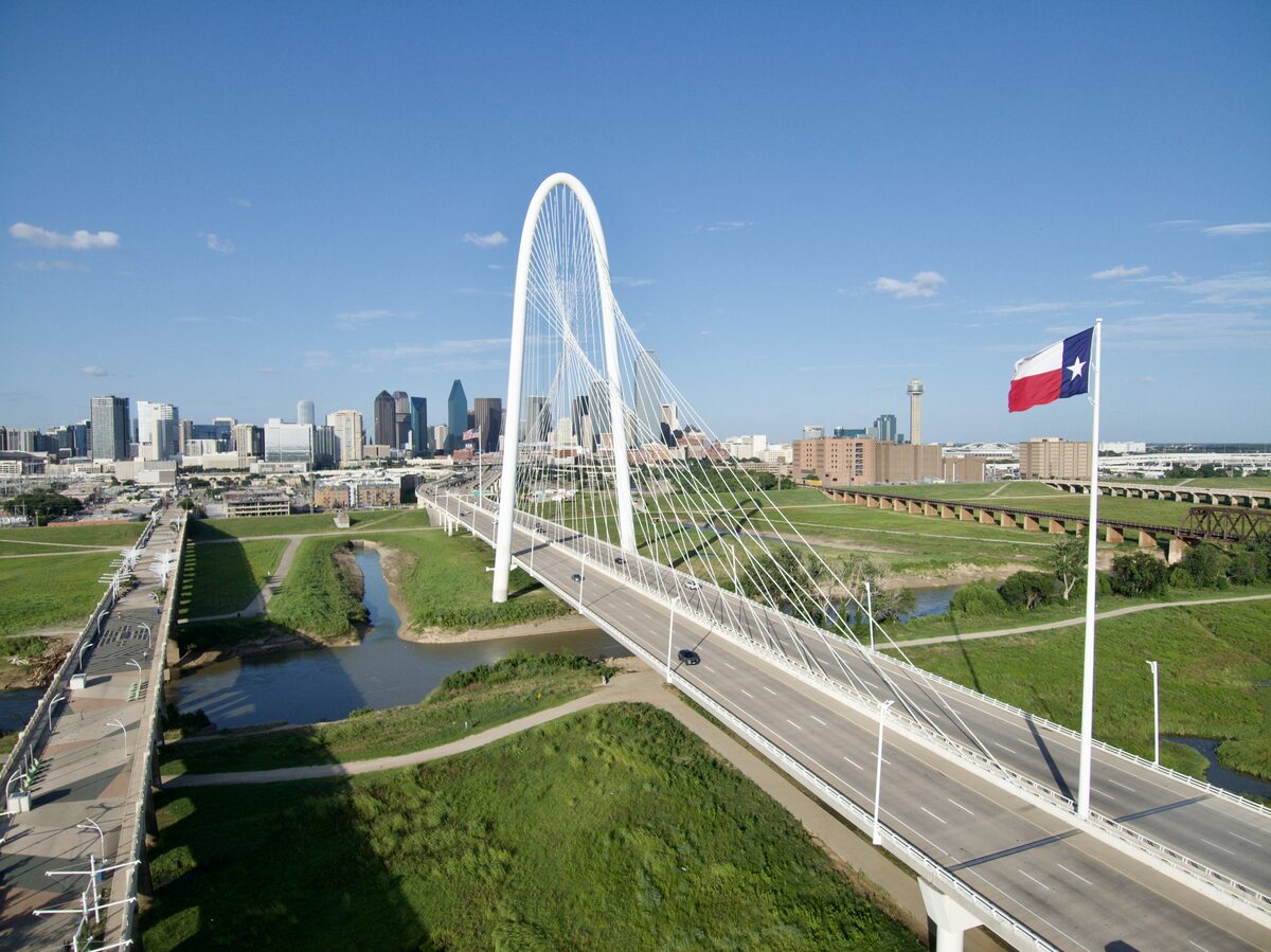
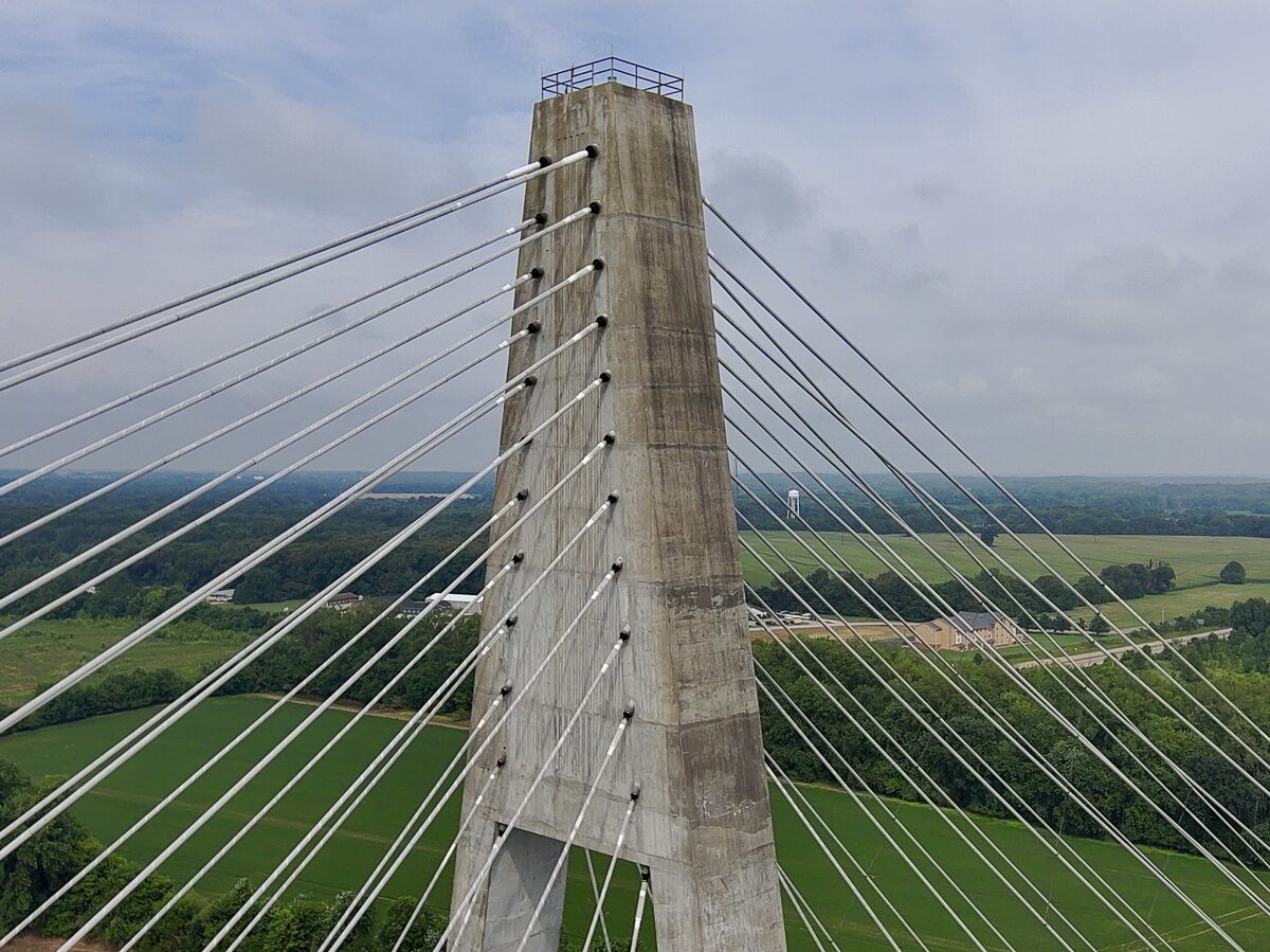
- Bridge & Infrastructure
- Roof Inspections
- Tower & Cell Site
- Construction Progress
- Damage Assessment
- Thermal Imaging

Aerial Photography & 4K Video
High-resolution aerial photography up to 48MP and stunning 4K videography — perfect for luxury real estate marketing, detailed commercial inspections, and property documentation.
- Real Estate Marketing
- Commercial Properties
- Event Coverage
- Marketing & Branding
- Progress Documentation
2D Mapping & 3D Scanning
Precise data and visual models for engineering, architecture, construction, and real estate development. 2D orthomosaic mapping, 3D scanning, and topographic surveys.
- 3D Modeling & Scanning
- Orthomosaic Imagery
- Topographic Surveys
- Volumetric Analysis
- GIS Integration
SEE THE TECHNOLOGY
Explore our equipment and the structures we inspect. Rotate, zoom, and interact with these 3D models.
INSPECTION DRONE
Skydio X10 with VT300-Z sensor featuring narrow lens, telephoto lens, FLIR thermal module, and RTK/PPK for precision infrastructure inspection.
AERIAL CAMERA
Professional gimbal-stabilized camera delivering 4K resolution aerial photography and videography.
BRIDGE INSPECTION
Drone-based bridge inspection captures every angle of piers, decks, and structural joints safely.
WHO WE SERVE
Engineers & Architects
Detailed aerial surveys, 3D mapping, and orthomosaic imagery for design, planning, and site analysis.
Contractors
Construction progress monitoring, site surveys, and volumetric measurements to keep projects on schedule.
Real Estate Agents
Stunning aerial photography and video tours showcasing properties from dramatic aerial perspectives.
Owners & Developers
Comprehensive site documentation, progress tracking, and marketing assets for development projects.
Insurance & Attorneys
Accurate damage documentation, claim evidence, and litigation support with geo-tagged aerial imagery.
Government & Utilities
Infrastructure assessment, utility line inspection, and regulatory compliance surveys with reporting.
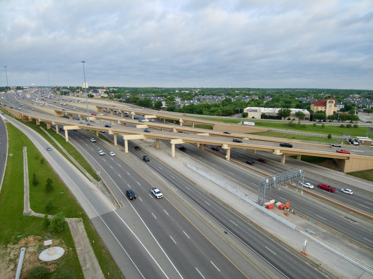
RECENT PROJECTS
Bridge inspections, aerial photography, property mapping, and infrastructure surveys across Texas — plus a few aerial shoots from our travels abroad.
START YOUR PROJECT
Ready to see your project from a new perspective? Contact us for a free consultation. Serving Houston, Conroe, Montgomery, Magnolia, and the DFW metroplex.
MESSAGE SENT
We'll get back to you shortly.